
Revolutionising Modern Mapping and Inspection.
LiDAR Surveys with Drones
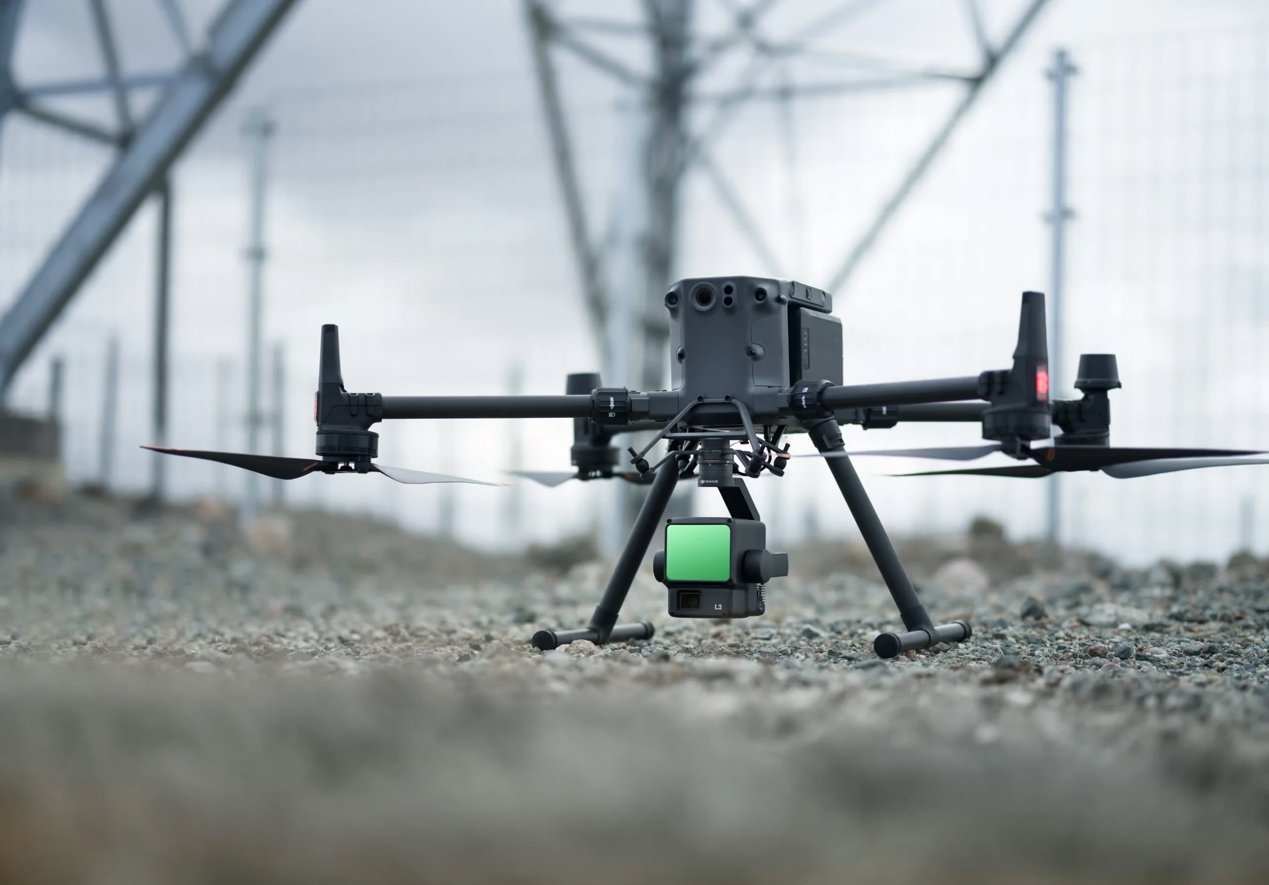
In recent years, drone technology has transformed the way professionals capture geospatial data. Among the most significant advancements is the integration of LiDAR (Light Detection and Ranging) sensors with unmanned aerial vehicles (UAVs), enabling fast, accurate, and cost-effective surveying across a wide range of industries.
From construction and civil engineering to forestry, mining, and environmental management, drone-based LiDAR surveys are providing detailed three-dimensional data that was once expensive and time-consuming to obtain.
What is LiDAR?
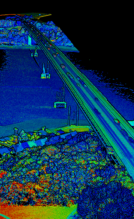
LiDAR is a remote sensing technology that measures distances by emitting laser pulses and recording the time it takes for each pulse to return after striking a surface. By collecting hundreds of thousands—or even millions—of measurements every second, a LiDAR system creates an exceptionally detailed "point cloud" representing the terrain and surrounding features.
Unlike traditional photography, LiDAR captures precise elevation data, making it invaluable for generating accurate digital terrain models.
How Drone LiDAR Surveys Work
A typical drone LiDAR system consists of several integrated components:
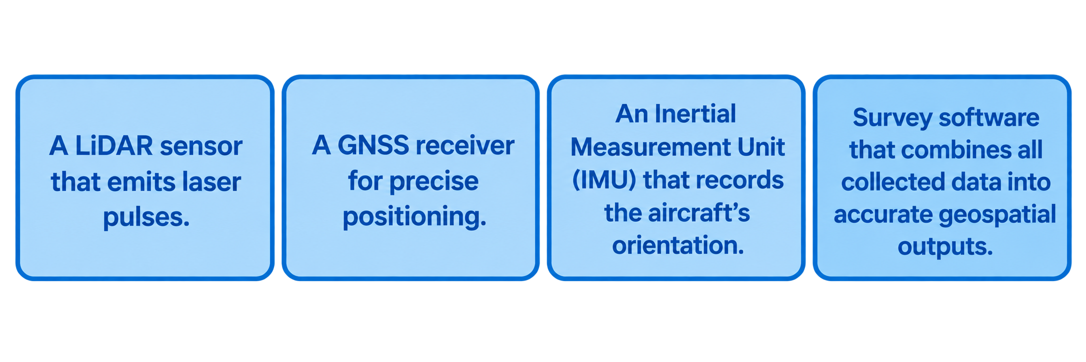
During a flight, the drone follows a pre-programmed route while the LiDAR scanner continuously measures the surrounding environment. The collected data is then processed into high-resolution point clouds, contour maps, elevation models, and other deliverables suitable for engineering, planning, and analysis.
Advantages of Drone LiDAR Surveys
-
Modern drone LiDAR systems can achieve centimetre-level accuracy when combined with high-quality GNSS positioning and properly surveyed ground control points. This precision makes them suitable for engineering design, infrastructure planning, and volumetric calculations.
-
Large areas that would take survey teams days or weeks to measure manually can often be surveyed in just a few hours. This significantly reduces project timelines while improving efficiency.
-
One of LiDAR's greatest strengths is its ability to penetrate gaps within vegetation. While cameras only capture the visible canopy, laser pulses can reach the ground beneath trees and dense vegetation, allowing accurate terrain modelling in woodland and heavily vegetated environments.
-
Compared with traditional airborne LiDAR collected by helicopters or aircraft, drone-based systems provide a more affordable solution for small to medium-sized projects while maintaining excellent accuracy.
Common Applications
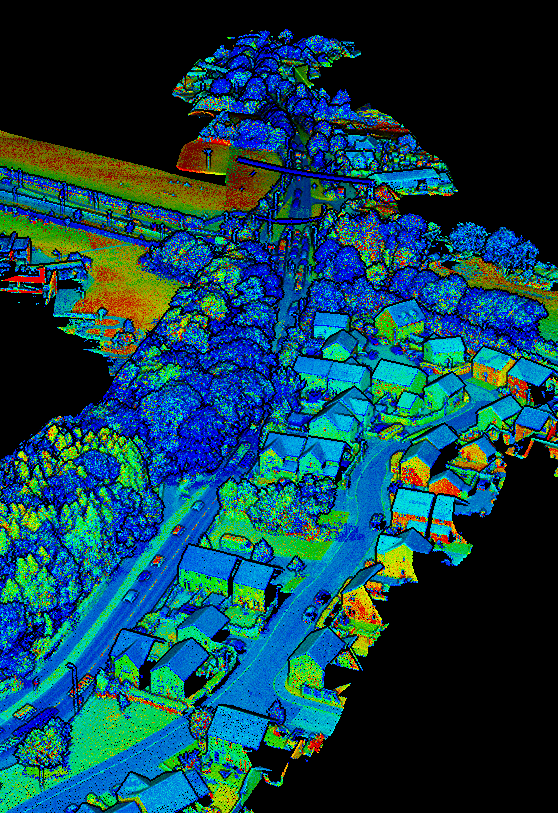
A professional drone LiDAR survey can produce a variety of outputs, including:
-
Construction companies use drone LiDAR to monitor site progress, calculate earthworks volumes, create accurate topographic surveys, and compare completed work against design models.
-
Engineers rely on LiDAR data for road design, drainage planning, utility mapping, bridge inspections, and infrastructure development.
-
LiDAR enables foresters to estimate tree height, canopy density, biomass, and forest structure while also generating accurate terrain models beneath dense woodland.
-
Mining operators use drone LiDAR to calculate stockpile volumes, monitor excavation progress, assess slopes, and improve operational planning.
-
Environmental consultants use LiDAR to analyse flood risk, monitor erosion, restore habitats, and assess river corridors and coastal environments.
-
Powerline inspections, pipeline monitoring, railway surveys, and telecommunications infrastructure all benefit from accurate three-dimensional mapping produced by drone LiDAR.
Deliverables from a Drone LiDAR Survey
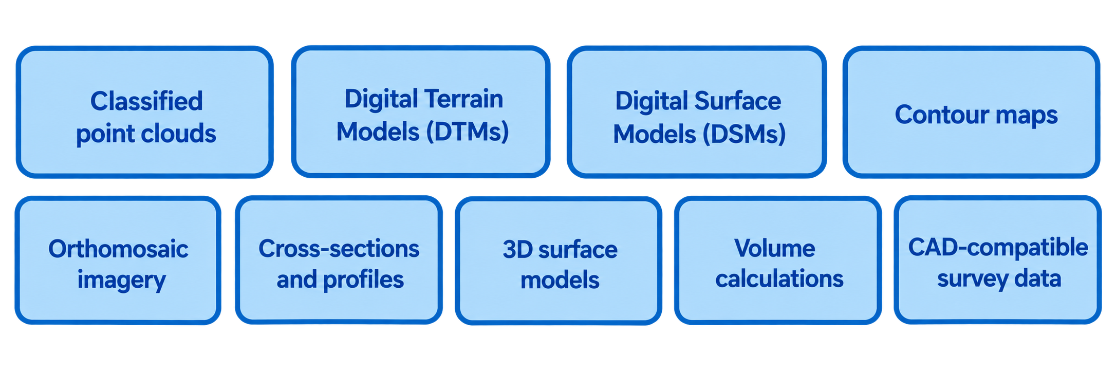
These deliverables can be integrated into GIS platforms, CAD software, and Building Information Modelling (BIM) workflows.
Conclusion
Drone-based LiDAR surveying has transformed the collection of accurate geospatial data. By combining precision laser scanning with the flexibility of unmanned aerial systems, organisations can survey large and complex environments more safely, quickly, and economically than ever before.
Whether supporting engineering projects, monitoring natural environments, or managing infrastructure assets, LiDAR-equipped drones provide reliable, high-resolution data that enables better planning, improved decision-making, and more efficient project delivery.