Forestry Mapping
See Your Woodland From a New Perspective
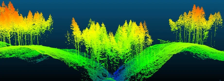
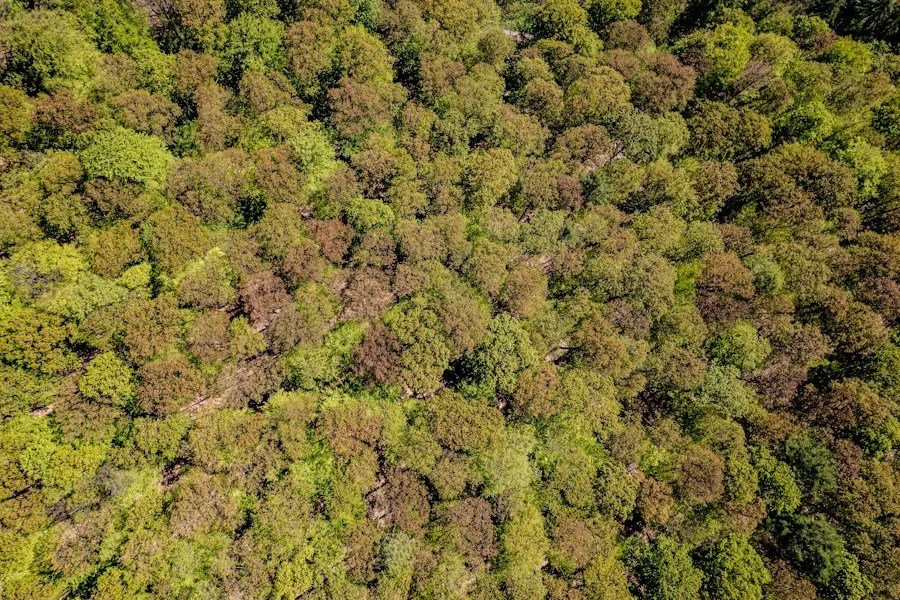
Unlock a complete view of your woodland — from tree health monitoring and windblow detection to carbon stock quantification.
Our aerial data gives landowners and forestry managers the insight they need to monitor change, identify issues earlier, and make faster, more informed decisions.
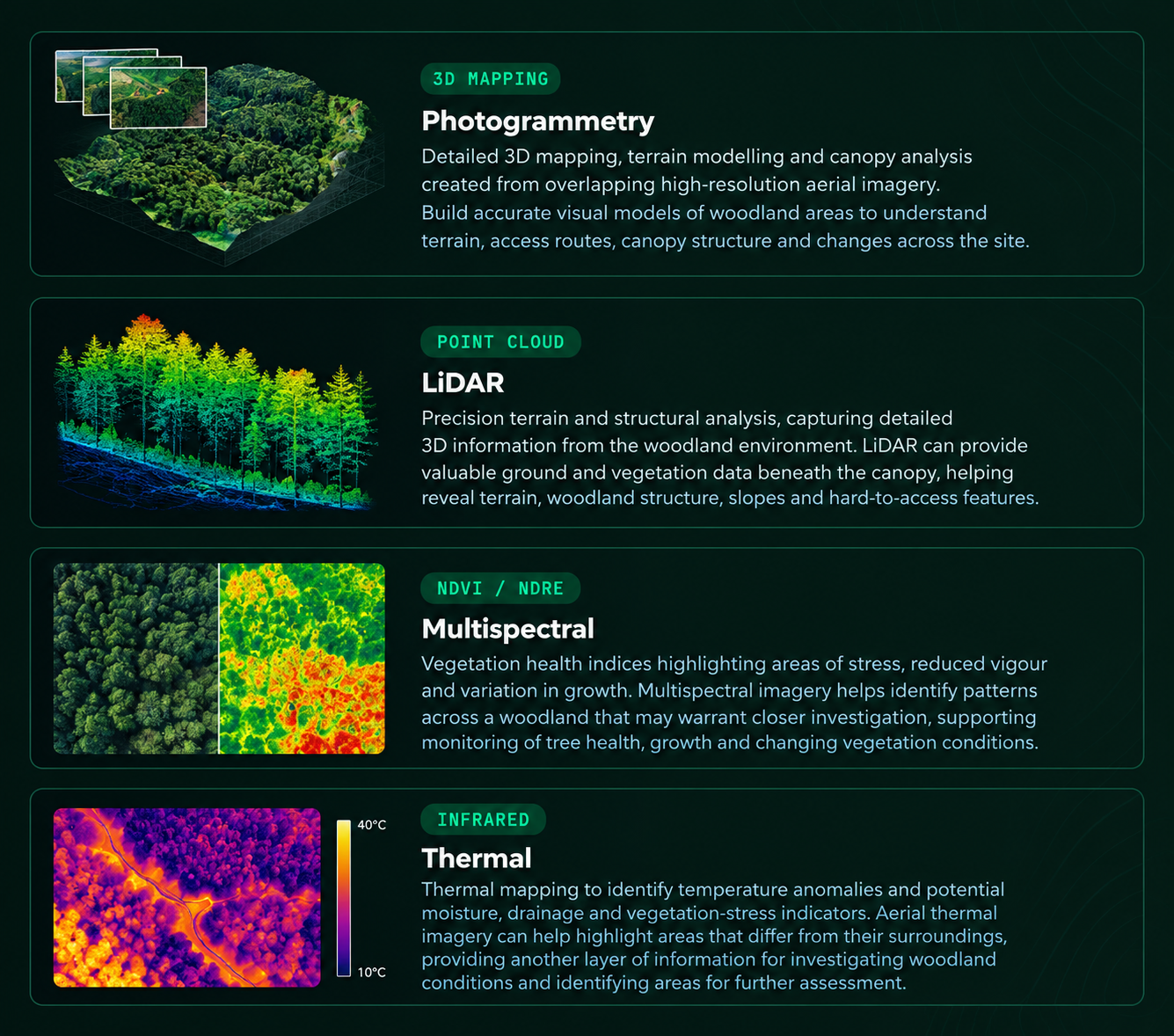
What We Survey
Key Applications
-
Plan felling operations and access routes
Support contractor engagement with clear visual data
Monitor stand development over time
Identify areas of new planting or regeneration
-
Detect early signs of disease such as ash dieback
Target affected trees for removal
Analyse canopy condition using multispectral imagery
-
Estimate stocking density and vegetation height
Segment individual trees and calculate timber volume
Quantify carbon stocks across woodland areas
-
Identify windblown areas quickly and accurately
Support insurance claims with visual evidence
Locate previously undiscovered damage zones
-
Detect blocked drains and waterlogged areas
Assess flood risks and downstream siltation
Monitor land conditions without physical access
-
Plan post-fire reforestation strategies
Develop thinning and prescribed fire plans
Improve long-term sustainability of woodland assets
A Faster, Safer, More Comprehensive Alternative
Why We Use Drones
Traditional ground surveys can be time-consuming, physically demanding, and limited in visibility. Drone-based surveying transforms the way woodland owners and managers understand and manage their land — providing a simple, visual and comprehensive view from above.
Survey large areas (50+ hectares) quickly and efficiently
Capture high-resolution aerial and thermal imagery for greater detail and insight
Access hard-to-reach and waterlogged terrain safely and with ease
Gain a complete canopy-level perspective that ground surveys simply
cannot provide
Reduce labour costs while improving data accuracy and consistency
Advanced Data Processing
Data Capture & Technology
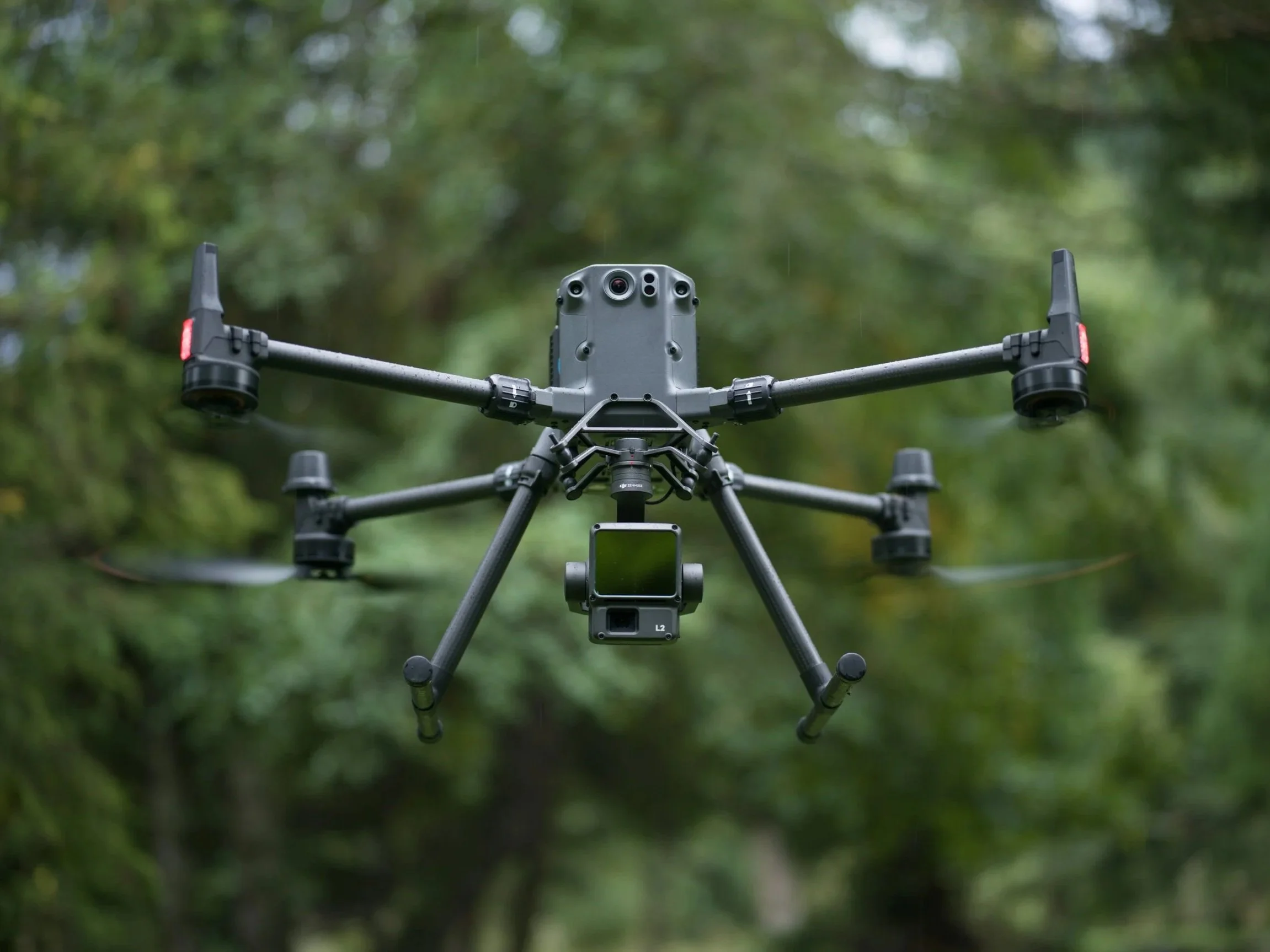
We combine industry-leading drone technology with powerful software to transform complex data into accurate, actionable insights.
Our advanced processing workflows turn raw aerial data into clear, reliable outputs that help businesses make informed decisions, improve operational efficiency, and gain deeper insights into their assets and environments.
New Perspective
Drone technology reveals insights that simply aren’t visible from the ground. By capturing high-resolution imagery and data from hard-to-reach areas, inspections become faster, safer, and significantly more informative.
What You Can See That You Couldn’t Before
More visibility. Better insights. Smarter decisions.
More visibility. Better insights. Smarter decisions.
Identify potential issues earlier, reduce the need for manual access, and gain a clearer understanding of asset condition, helping to make confident, data-driven decisions.