
Ecotainment x Drones
Our ecology team includes world-class, award-winning drone operators. We’re helping shape how drones are used across the ecological sector in the UK. Our approach goes beyond imagery, setting best practice for how aerial methods support ecological decision-making while reducing disturbance in sensitive environments.
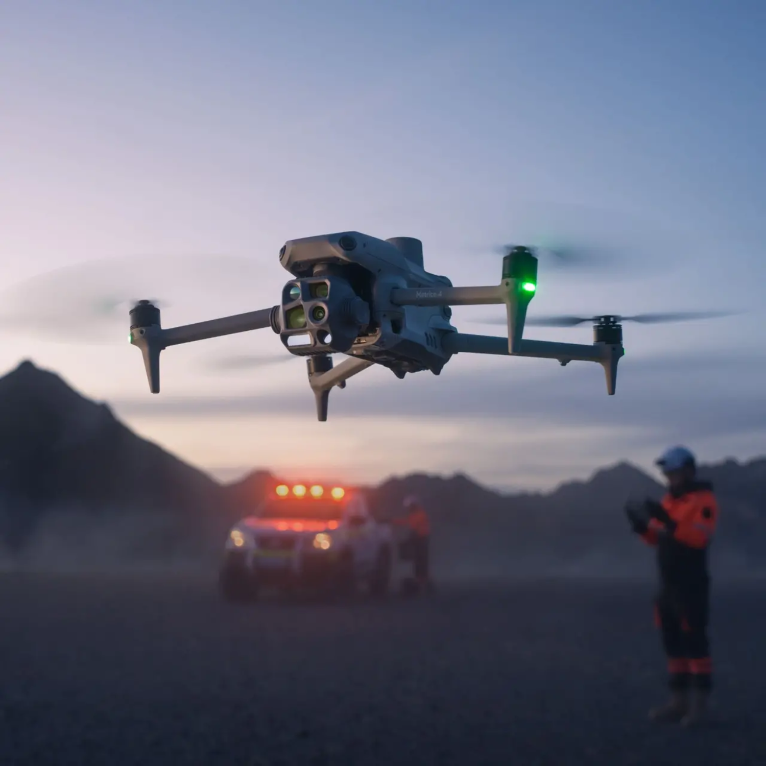
All our drone operations are fully registered with the Civil Aviation Authority (CAA) and covered by commercial insurance, ensuring safe, responsible, and legally compliant projects.

-
We use state of the art thermal drones to undertake bat surveys to identify and monitor emergence points and flight activity with precision. Drones allow for multiple features to be surveyed at one time, in addition to previously inaccessible features.
In collaboration with Wildlife Imaging Systems, we create detailed visual summaries that pinpoint exact locations and track flight paths, which reduces your processing time by up to 90%.
-
We use drones to assess potential roosting features for bats in trees, buildings, and other structures. Our drones are equipped with high-resolution imaging, thermal and a 128× zoom camera, allowing detailed inspection of cavities, cracks, and crevices from a safe distance, without the need for climbing or causing disturbance. This approach is particularly effective for surveying tall trees, inaccessible facades, and remote locations, providing clear visual data to support ecological assessments and mitigation planning.
-
Our drones can safely access high-risk or otherwise inaccessible areas, covering enormous areas with ease. We capture detailed, high-resolution data, up to 15x more accurate than Google Earth. This can easily be uploaded directly into GIS to identify habitats and inform ecological decision-making.
Thermal imaging enables the identification of critical features, such as badger sets, otter holts or other sensitive wildlife activity.
-
We’re always looking for new and creative ways to apply technology in ecological work.
We recently used thermal drones to trial the detection of dormouse nests in dense vegetation. The results are looking promising!
If you have an idea or a challenge you’d like to explore, we’d love to collaborate and help bring it to life.
-
We use drones to assess and monitor invasive species, particularly in areas that are difficult or hazardous to access on foot, such as dense vegetation, steep terrain, or along watercourses.
This approach enables rapid, detailed surveying of challenging environments, supporting early detection, mapping, and management of invasive species.
-
We conduct repeatable aerial surveys and generate high-resolution mapping. This provides precise data on vegetation regrowth, soil condition, and landscape change over time. This data-driven approach delivers accurate, visual evidence of recovery, helping land managers, conservation organisations, and stakeholders measure success and refine management strategies with confidence.
-
We provide specialist drone based surveys to locate and assess Schedule 1 bird nests with precision and care. Our technology allows us to survey habitats from multiple perspectives, giving a comprehensive understanding of nesting areas without the need for intrusive ground searches. Using state of the art thermal imaging, we can detect active nests even in dense vegetation or inaccessible terrain, while our 128× zoom camera enables detailed inspection from a safe distance, ensuring no disturbance to protected species.
All surveys are conducted by our highly experienced drone pilots, who are also among the world’s leading wildlife cinematographers, combining exceptional technical skill with an instinctive understanding of animal behaviour and fieldcraft.