Can Drones Play a Role in Monitoring Landscape Restoration?
*Spoiler Alert* - Yes
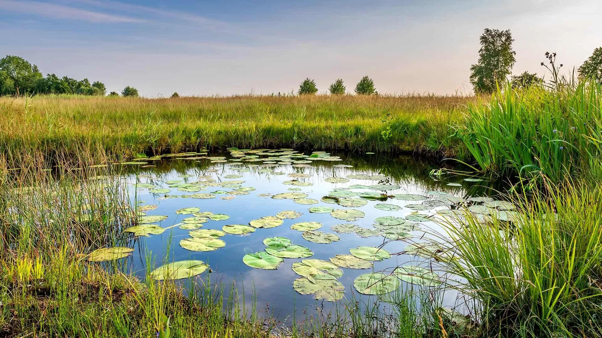
Ecological restoration is no longer about improving small pockets of habitat. As ecologists, we’re are being asked to deliver landscape-scale ecological restoration and that comes with big challenges!
Field surveys across large areas take time. Access can be difficult or dangerous. Monitoring is often under-resourced. This is where drones, particularly when paired with LiDAR, are starting to change what’s possible.
The Current Reality of Landscape Restoration
When projects move from hectares to entire landscapes, the practical challenges grow fast:
Baseline surveys become resource-heavy
Sites are often difficult to access
Monitoring can be difficult to repeat
Small teams are stretched thin
Traditional ecological methods are still essential! However, drones allow us as ecologists to gather detailed ecological information across large areas, quickly and safely.
Better Planning at Scale
One of the biggest hurdles in restoration is simply understanding the starting point. Without good baseline data, it’s impossible to prioritise interventions or set realistic targets.
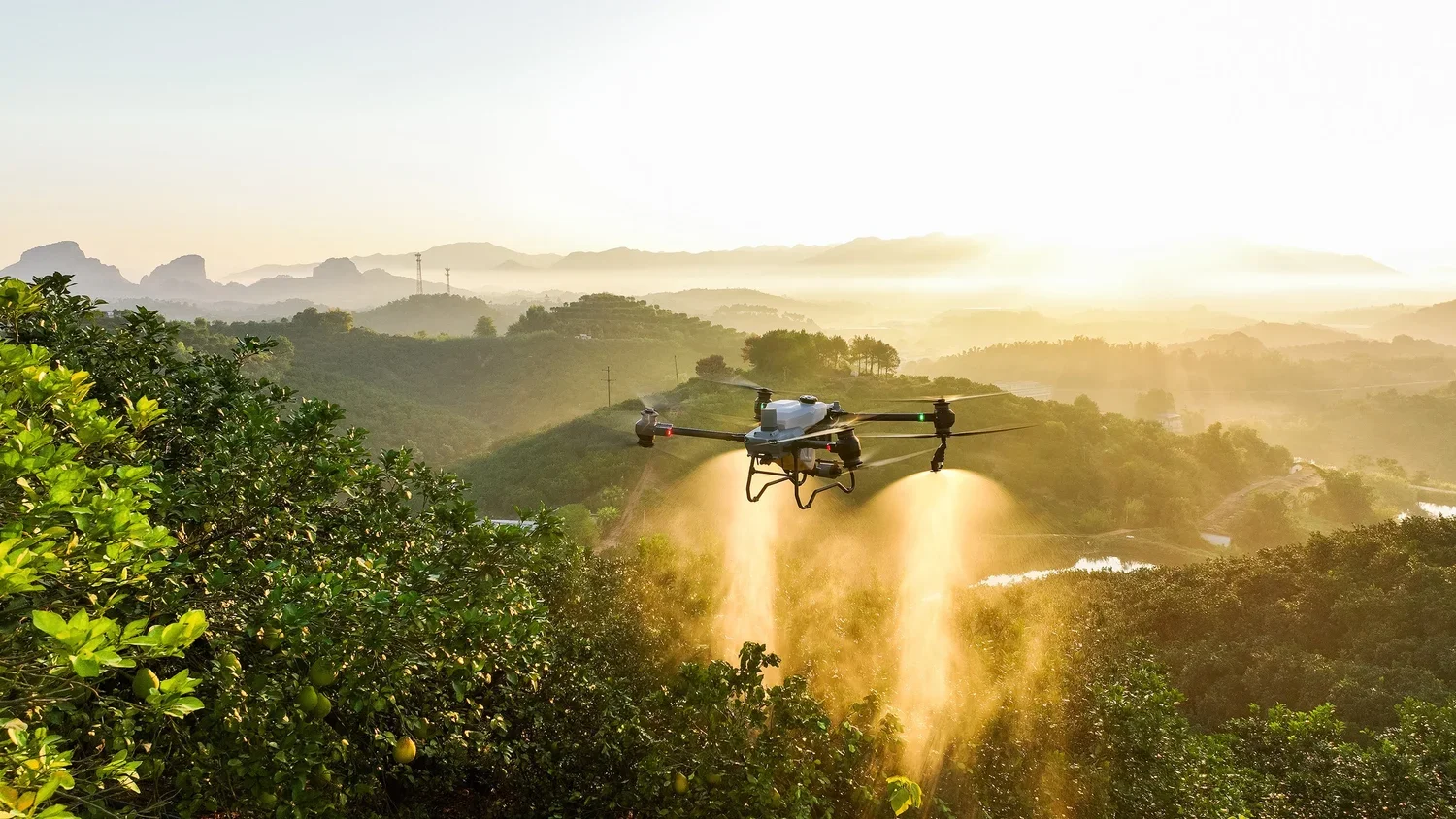
Using multirotor drones, we’re able to produce:
High-resolution habitat maps
Vegetation structure models
Topographic insights that influence hydrology
Identification of disturbance and invasive species
Adding LiDAR into the workflow takes this further, allowing teams to assess canopy height, vegetation density, and structural diversity across entire landscapes. That level of detail helps target restoration where it will have the greatest impact.
Monitoring That Actually Scales
Monitoring is often the first thing squeezed when budgets tighten, I’m sure we all agree that it is critical for understanding whether restoration is working.
With drones, monitoring becomes repeatable and scalable. We’re able to pre programme drones to fly the exact same route, time and time again, meaning the data is comparable. Teams can carry out consistent surveys over time, track vegetation recovery, and measure structural change using LiDAR-derived data. This creates a reliable evidence base for adaptive management, rather than relying on scattered field observations.
Reducing Risk for Practitioners
Working across large landscapes can involve difficult terrain, remote locations, and challenging weather conditions. Drone-based surveys reduce the need for extensive on-foot coverage, helping teams collect high-quality data while limiting exposure to risk.
For many projects, this is just as important as the efficiency gains.
A Tool for Scaling Restoration
The shift toward landscape-scale restoration isn’t slowing down. To meet these demands, practitioners need tools that are flexible, repeatable, and capable of delivering detailed ecological insight across large areas.
Multirotor drones with LiDAR provide exactly that. They help teams move faster from planning to implementation, improve monitoring, and support evidence-led decision making, all while reducing risk in the field.
They won’t replace ecological expertise. But they do make it far easier to apply that expertise at the scale restoration now requires.
If you have any questions, get in touch with our team at Contact@Ecotainment.co.u