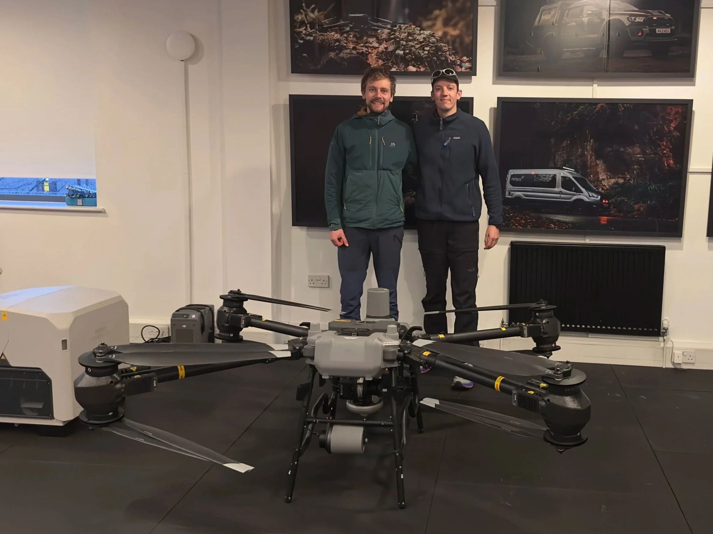
Ecotainment Director Joe and Drone Operator Sam spent the day with Heliguy on their Drone Survey Course, a proper deep dive into latest techniques on how to plan, capture and process survey data.
We’re big believers in keeping our team’s skills fresh, especially as tech like drones and photogrammetry become more and more useful in ecological work.
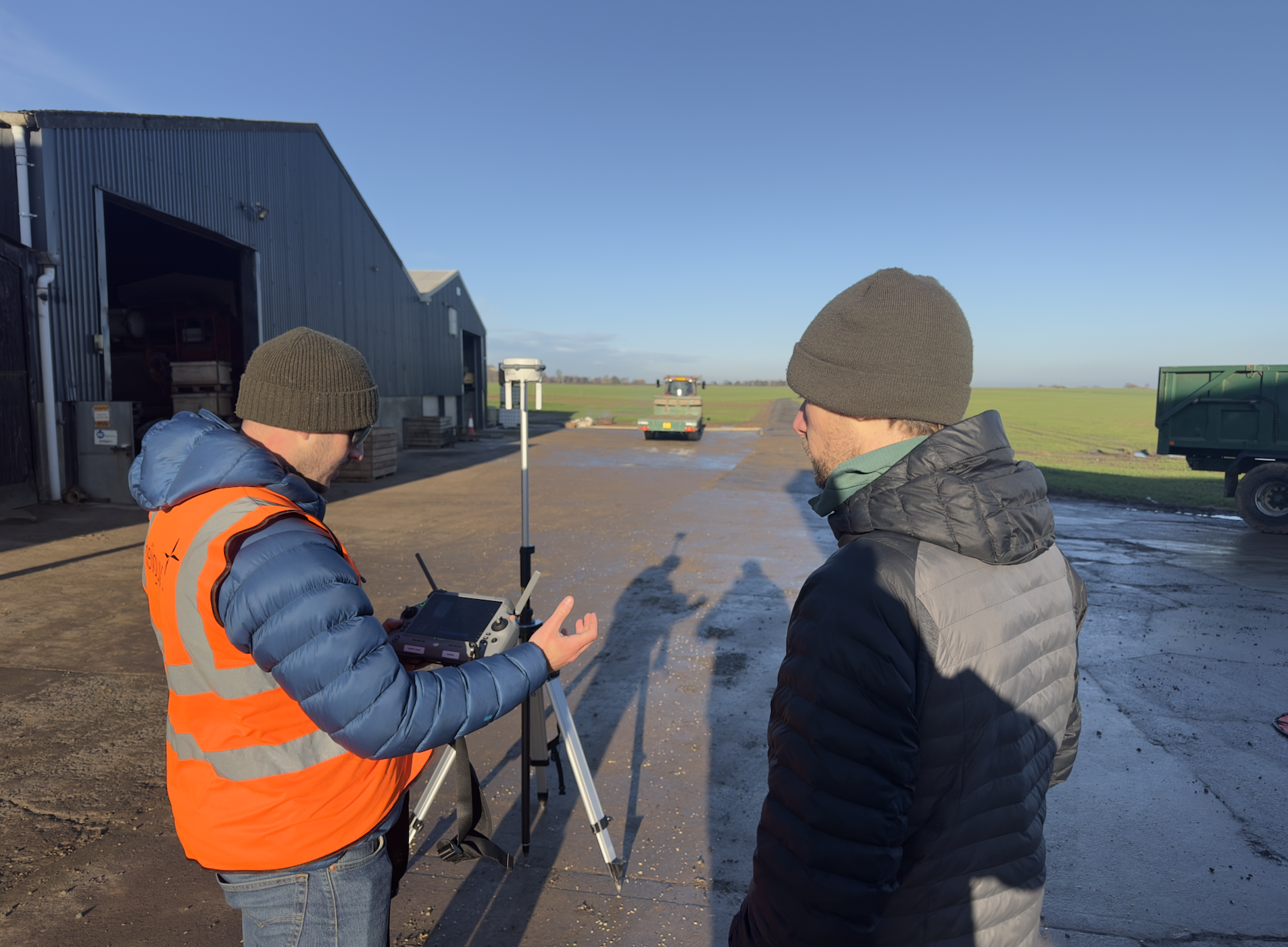
The day covered everything from setting ground control points with GNSS receivers and using the DJI D-RTK 3 system, through to building 2D orthomosaics and 3D models in DJI Terra.
The result?
We can now produce accurate, georeferenced, high-resolution maps, perfect for Phase 1 habitat surveys, bat roost suitability assessments, site mapping on high risk sites (highways, train lines etc).
A big thanks to the Heliguy crew for a really hands-on and insightful day. Always good to keep levelling up.