
Drones in Ecology. From Novelty to Standard Practice

Introduction
Over the past decade, drones have transitioned from novelty to necessity across many sectors. Within ecology, however, their uptake has been comparatively slow. Regulatory uncertainty, and limited workflows held back adoption. That tide is now turning.
At Ecotainment, we sit at the crossing point between ecology, technology and filmmaking. We support consultancies and NGOs with ecology projects ranging from phase 1 habitat assessment, bat surveys, to river-health monitoring, rewilding projects and even surveying megafauna. Recently we have embedded drone based workflows into many of these projects enabling more efficient, safer and creative data capture.

Applications in Ecological Consultancy
Habitat mapping
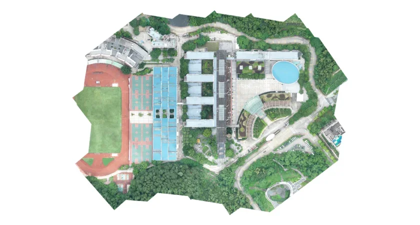
Drones are rapidly changing how we approach Phase 1 and UKHab surveys, especially on large or difficult to access sites. At Ecotainment, we use drones to fly pre-programmed routes generated using flight-planning software. These missions ensure consistent altitude, overlap, and coverage, allowing us to create seamless, georeferenced orthomosaics of entire sites.
The cameras mounted on these drones capture high-resolution imagery (typically 1–3 cm per pixel), providing a level of spatial detail that is often impossible to achieve through ground-based mapping alone. The result is a set of detailed aerial photographs that can be imported directly into GIS software such as QGIS or ArcGIS, where they can be used for habitat classification, change detection, and baseline mapping.
When combined with ground truthing data, these drone-derived orthomosaics enable our clients to:
Accurately identify habitat boundaries.
Identify target notes and features such as ponds, hedgerows, and scrub encroachment before setting foot on site.
Reduce field time while increasing coverage and repeatability.
Revisit datasets virtually to check features without additional site visits, saving time, project cost and travel emissions.
This approach has been particularly effective for large infrastructure projects and rewilding sites, where landscape-scale mapping and repeat monitoring are essential. It also produces a transparent and auditable dataset that integrates easily into existing consultancy workflows.
Bat Emergence Surveys
At Ecotainment, we’re pushing the boundaries of what drones can do in ecological monitoring, particularly in bat ecology.
In partnership with Wildlife Imaging Systems, we use drones equipped with thermal sensors to conduct emergence and activity surveys. The resulting footage is processed through Wildlife Imaging Systems’ cloud-based platform, which uses motion-detection algorithms to automatically identify movement in the footage. In some cases, this has reduced manual analysis time by up to 90%.
This technology allows our team to:
Access hard-to-reach roost sites (such as rooftops or tree cavities).
Detect bats’ flight paths with minimal disturbance.
Rapidly process footage to focus on genuine emergence.
These methods are particularly valuable when working alongside developers or consultancies managing complex sites. By combining drone-thermal data with acoustic and observational surveys, we’re helping clients gain a more complete and efficient understanding of bat activity.

Emerging and noval applications:
Monitoring at Heal Rewilding, Frome
At Ecotainment, we’re passionate about using drone technology to support rewilding and long-term ecological recovery. One recent example is our collaboration with Heal Rewilding at their pioneering site near Frome, Somerset, one of the UK’s first large-scale rewilding projects aimed at restoring biodiversity on previously intensive farmland.
We’ve been assisting Heal in monitoring wildlife activity across the site, using drone-based aerial surveys to record and track roe deer populations, which are a key management consideration in the early stages of rewilding. By combining thermal drone imagery with ground-based counts, we’ve been able to produce accurate estimates of deer density and distribution across different habitat zones. This data directly supports decisions around grazing pressure and woodland regeneration.
Beyond survey work, our team also helped coordinate volunteer teams involved in the humane removal of deer from specific areas where their browsing was inhibiting natural regeneration. These management efforts, informed by aerial monitoring, have been instrumental in balancing the ecological recovery of the site.
The Heal project highlights how drones can become a practical management tool in rewilding: offering rapid coverage, reduced disturbance, and a clear visual dataset that helps land managers make informed, evidence-based decisions about intervention and restoration success.

Humpback Whale Conservation, Iceland
Our drone work doesn’t stop at land-based ecology. In 2024, Ecotainment joined Tandem Ventures and the charity Whale Wise in northern Iceland to support their WHASER Project (video below) a world-first trial of a drone-mounted LiDAR and sensor system designed to measure whales from the air.
The WHASER (Whale Height and Surface Estimation via Remote sensing) system enables researchers to record fine-scale body measurements of whales, track body condition, and identify entanglement scarring, all non-invasively.
Operating drones in Iceland’s marine environment required coordination between engineers, ecologists, and pilots, working under challenging conditions to collect accurate, ethical data. This collaboration illustrates Ecotainment’s role in bridging technical innovation and ecological integrity, using filmmaking-grade aerial systems to inform conservation research.

